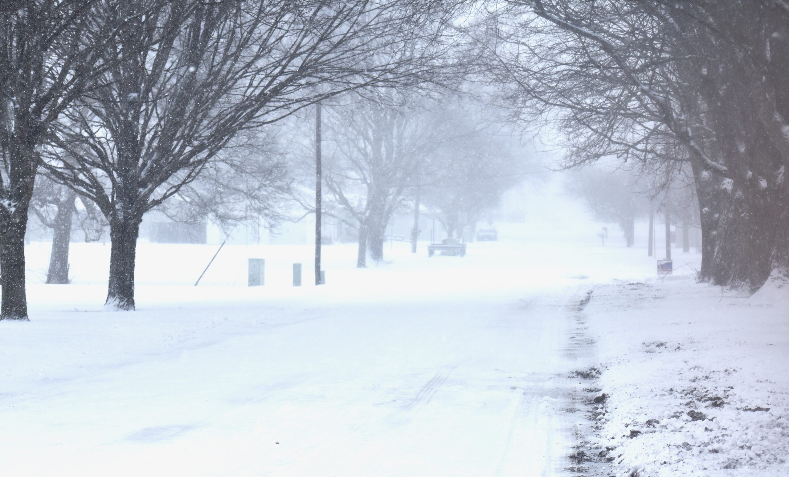
This Christmas could be special weather-wise.
Steve Hilberg, the Retired, Director of the Midwestern Regional Climate Center, said this won’t actually be the coldest Christmas on record but could be in the top three.
“The coldest Christmas on record here had a high temperature of -3°F and a low of -15°F in 1983,” Hilberg said. “The second coldest is 1924 with 8°F/-10°F, and then 1985 with 9°F/-5°F.”
Hilberg said Christmas in this area normally has a high of 36°F and a low of 22°, and most Christmases aren’t white.
“A white Christmas as one on which there is measurable snow on the ground,” he said. “The last time we had a white Christmas here was in 2017 and there was 4 inches on the ground.”
2010 also saw a white Christmas with 8 inches of snow on the ground.
“Typically we’ll have a white Christmas about 25 percent of the time,” he said.
Hilberg said that this one storm doesn’t represent how this winter will actually be.
“This is just one storm, so this doesn’t portend anything dire this winter,” he said.
Hilberg said the winter outlook from the National Weather Service does call for a higher probability of colder than normal weather though.
“That’s on average, however, and really provides no kind of detail about the day to day or even week to week variations,” he said.
Hilberg recommended not traveling today.
Don’t focus on the forecast snow totals with this storm,” he said. “Even an inch of snow will cause extremely hazardous travel conditions with the winds expected, especially outside the city limits in rural areas.”
Hilberg said for those that have to travel be sure and have the necessary equipment and supplies in the car in case you become stranded – snacks, water, flashlights, extra blankets.
Dress in layers, and make sure all exposed skin is covered if you absolutely have to be outside.
“It will be dangerous to be outside with the extreme cold and wind chill temperatures,” he said. “Frostbite could occur in minutes.”













You must be logged in to post a comment.